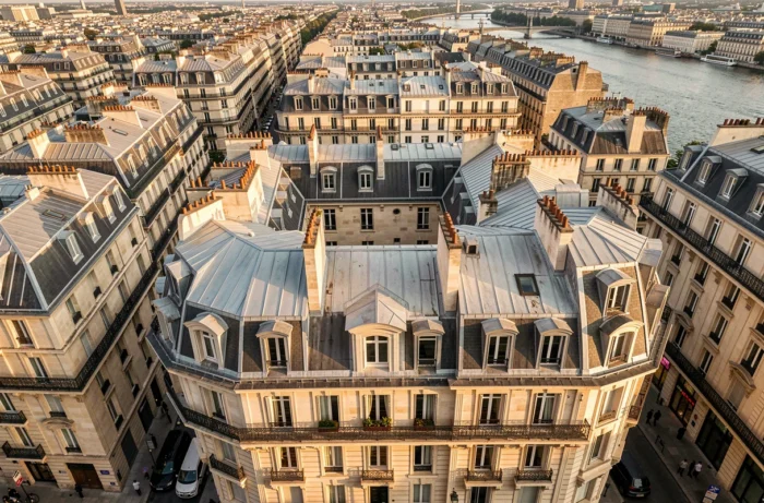
Photographing a Parisian apartment from the sidewalk rarely gives a true idea of what one is buying. Orientation, unobstructed views, proximity to a park or a tree-lined courtyard: these elements weigh heavily in a buyer’s decision, and they can only be seen from a height. Aerial drone views have emerged in recent years as a concrete tool for real estate professionals in Paris, far beyond just visual appeal.
Drone Regulations in Paris: the European STS-01 Framework in Effect Since 2026
Before discussing beautiful images, we must talk about legality. Paris is a highly regulated area for drone flights. The capital is classified as a populated zone, which implies specific authorizations and a strict regulatory framework.
Since January 1, 2026, France has definitively abandoned its old national flight scenarios (S1, S2, S3). The EASA European framework now applies, with two standard scenarios: STS-01 for visual line-of-sight flight in populated areas and STS-02 for beyond visual line-of-sight flight. For Parisian real estate, it is the STS-01 that governs almost all aerial shots.
In practical terms, a drone operator working for a real estate agency must fulfill several new obligations:
- Be registered on the AlphaTango platform of the DSAC, mandatory for any professional operator.
- Maintain a MANEX (manual of operations) documenting flight procedures, safety, and incident management, required in specific categories.
- Use CE certified and classified equipment (C5 or C6 for STS), which excludes unmarked consumer drones.
These requirements filter out improvised operators. For a real estate agent looking for a provider in Paris, checking compliance with STS-01 and AlphaTango registration has become a reflex to acquire. Professionals listed on the Paris seen from the sky for real estate site display this type of compliance, simplifying the choice.
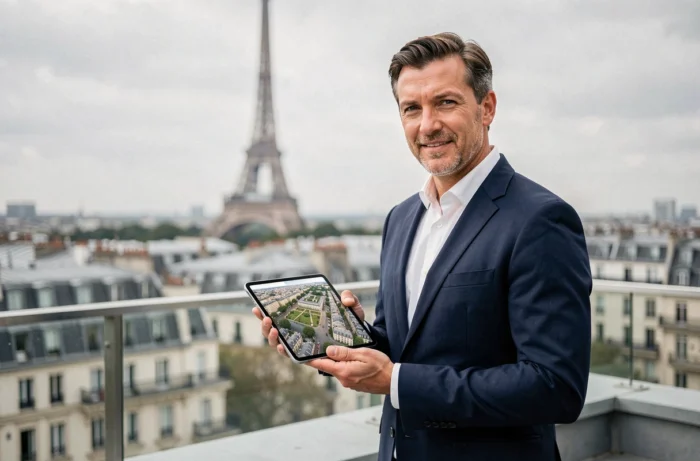
What Aerial Views Reveal About a Parisian Property
You may have noticed that two identical apartments on paper can sell for very different prices depending on the floor and exposure? Aerial photography makes these differences visible in an instant.
From a stabilized drone, one captures the immediate environment of the property: the layout of the courtyard, the actual distance to the neighboring building, the presence of green space nearby. These contextual details are often missing from most traditional listings.
In Paris, where urban density makes every square meter of outdoor space precious, showing a continuous balcony with an unobstructed view or a rooftop terrace from the air changes the perception of the property. The drone also allows filming of traffic routes, access to the metro, or the proximity of a market, all elements that matter in the buying decision.
The Case of Condominiums and Facade Inspections
Aerial views are not only used for selling. Parisian property managers are increasingly turning to drones to inspect facades, roofs, and hard-to-access common areas. A flight of a few minutes replaces a costly lift and hours of setup.
Drone inspection reduces intervention times and costs for condominiums while providing high-resolution images usable by architects and engineering firms.
Stabilized Drone or FPV Drone: What Output for Real Estate in Paris
Two main families of drones coexist in the production of real estate content, and they do not yield the same results at all.
The stabilized drone is the most common. Equipped with a three-axis gimbal, it produces smooth and straight shots. The photos and videos obtained are sharp, suitable for online listings or print materials. It is the standard tool for an overall exterior view.
The FPV (First Person View) drone is more cinematic. Smaller and more agile, it can enter a building, traverse a room, and exit through a window in a single continuous shot. The result is immersive, almost dizzying. In Paris, some operators use it for exceptional properties: lofts, private hotels, unique spaces.
Why does this choice matter? Because the type of drone determines the format of the final content. A stabilized drone is sufficient to highlight a three-room apartment in the 11th arrondissement. An FPV is justified when the property has unique architecture that deserves a visual narrative.
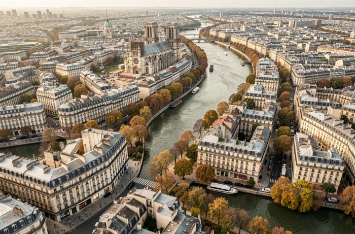
3D Modeling by Drone: An Underutilized Use in Paris
Beyond photography and video, drones can perform 3D modeling through photogrammetry. The principle: the drone makes several passes around the building, capturing hundreds of images from different angles. Software then reconstructs a three-dimensional model of the property and its environment.
This type of service is still rarely offered in Parisian real estate listings, even though it has existed for several years in construction and architecture. 3D modeling gives buyers a complete spatial vision of the property, including exterior volumes, neighboring properties, and sunlight exposure at different times.
For major renovation projects or the sale of raw spaces, this technology provides information that neither traditional photos nor 360° virtual tours can offer: the precise relationship between the building and its urban context.
An Asset for New Developments
Parisian real estate developers also use drone modeling to track construction progress and produce marketing materials before delivery. The drone replaces theoretical 3D rendering with real site capture.
The Paris market, where each property stands out more for its location than for its size, directly benefits from this ability to show the context. An apartment in the Marais does not sell like an apartment in Belleville, and the aerial view makes this difference tangible without a word being necessary.